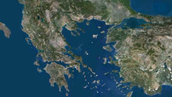
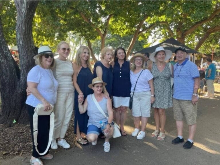
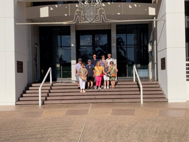
Last June, I participated with a group of fellow Greek Australians in a bus trip from Melbourne to Darwin, the capital of the Northern Territory.
The trip was organised by Savvas Salpingidis’ company Master Coaches. I admit, although tiring – it lasted 17 days – we returned with life experiences and colourful images of the rare beauties that nature has generously bestowed upon this blessed land.
The villages along the way, neat and tidy. However, the distances between them are so great, to the point that many times I often slept and woke up and we had still not reached our destination…
However, the route through central Australia to Darwin is quite interesting. For example, for the first time I saw anthills made of yellow sandy soil, carefully built by herds of ants, forming villages and cities with multi-storey buildings. The kind that would be the envy of the most talented architect. Also, fountains of palm trees trying to erect their trunks, mangroves and other tropical, broad-leaved trees and colourful flowers.
Many people ask me if we passed through any indigenous villages. Of course there are many, but not on the Stuart Highway, which we followed to the end and which is protected on both sides by endless mountain ranges – the famous Flinders and MacDonnell Ranges.
The village of Ali Curang, for example, in the central desert, is a purely indigenous community, with renowned painters who exhibit their works for sale in galleries. Three local dialects are spoken by the respective tribes, with English as an auxiliary. However, they somehow communicate with each other. The village has a motel, a caravan park, a fast food restaurant and other facilities.
The history of the place is lost in the depths of centuries.
DARWIN
On 5, 6, 7 and 8 June, we found ourselves in the capital of the Northern Territory, a constantly growing city, especially in the construction sector, with a population of 85,000 inhabitants. Together with the surrounding area… it touches 125,000. It is important to note that one in six has Greek roots and that a large percentage of the population are people of Aboriginal and Torres Strait Islander background.
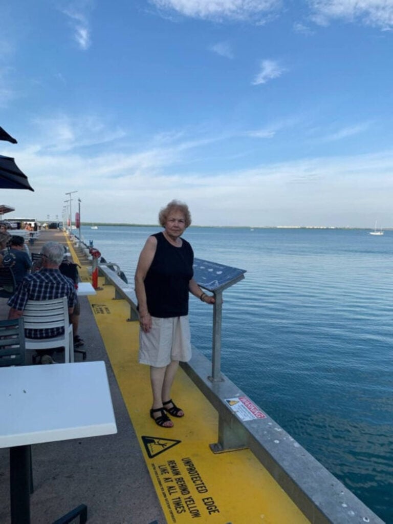
The climate is tropical with heavy rains, lightning and cyclones in the wet season and high temperatures, clear skies and mild seas in the dry season. The roads are comfortable and surrounded by many lush gardens. The walk to Casuarina Square in the city centre is also comfortable, with luxury shops and the most famous one with pearls!
The marina is also impressive, built to the latest standards and featuring shops with multicultural cuisine. The visit to the crocodile farm, which lazily bathed in the appropriately landscaped areas, and to the Botanical Garden were also unforgettable.
Darwin was rebuilt four times as a result of cyclones and the Japanese invasion during World War II.
Members of the Larrakia tribe are the traditional owners of the area. Hence many place names, streets and squares, bear indigenous names.
Of course, we attended the two-day Greek Festival organized by local organisations and embraced by the multicultural community of the city and surrounding areas. It is estimated that 40,000 people spent the two-day event, trying Greek and Cypriot food, enjoying our traditional dances and genuine traditional hospitality.
We note that the Greek GleNTi is among the three top festivals in the Northern Territory and takes place every year on the King’s Birthday weekend.
On Sunday morning we attended church at the church of St Nikolaos, which was packed with people, especially mothers with young children.
Encouraging, since young people, as we were told, are leaving the place for other states.
The Mayor of Darwin is our compatriot Kon Vatskalis, who is highly regarded by the citizens of the city’s multicultural mosaic.
KATHERINE RIVER
With a population of 6,000 inhabitants and a large percentage of Indigenous Australians from different tribes, the area was a gathering place for their sacred ceremonies.
In 1862, explorer John Stuart, after crossing the river, recorded the area and named it Katherine, in honour of the second daughter of pastor James Chambers Esq.
Gold was discovered in 1889 at Mount Todd, north of the city. However, mining ceased in 2000.
Between 1929 and 1960, there was a large influx of Russian immigrants, who were given land along Katherine River to grow peanuts. There were times when the river overflowed, with serious consequences for agriculture and livestock.
Katherine, with a dry tropical climate, high temperatures and rainfall to the point of raising the river level to an alarming level, has many parks and a developed tourism industry.
As a hub city – located at the crossroads to Darwin, Kakadu National Park, the Berkly Region, the Gulf of Carpentaria and the Kimberly Region of Western Australia – it has been connected since 2004 by a railway line from Adelaide to Darwin.
For the cruise of Katherine Gorge, in Nitmiluk National Park, co-driver Despina Radioti notes:
“We boarded small boats where indigenous guides described the rich history and tradition of the indigenous people of the area. On both sides of the river, the towering rocks of many shades with running waters and bird nests, raised their peaks imposingly. By general admission, the natural beauty and serenity of the landscape captivated us. The surprises were endless, since at one point two freshwater crocodiles emerged.”
It is noted that Katherine Gorge attracts a large number of tourists every year.
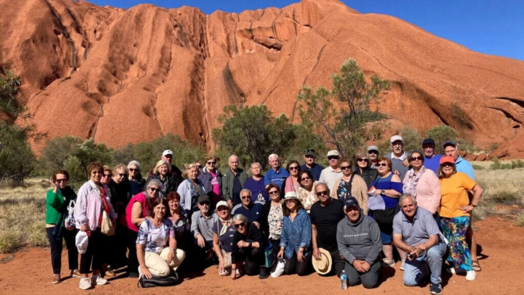
ULURU – NATIONAL PARK
Uluru – also known as Ayers Rock and in the Aboriginal language Kata-Tjuta meaning many heads – is a huge sandstone monolith (in other words a single massive rock) that has been exposed above the surface of the earth for 550 million years.
It is over 1,100 feet tall and covers an area of approximately 3.3 square kilometres!
The traditional owners of the land are the Anangu tribe. Since 1985, it has been officially granted by the State to the indigenous people, who it recognizes as the legal beneficiaries since it is one of the most sacred sites of their tribes.
There is a Cultural Centre, with murals and elaborate works of art and constructions from their lives lost over time, portraits of the tribes’ gurus and a documentary viewing area. And, of course, an Information Office.
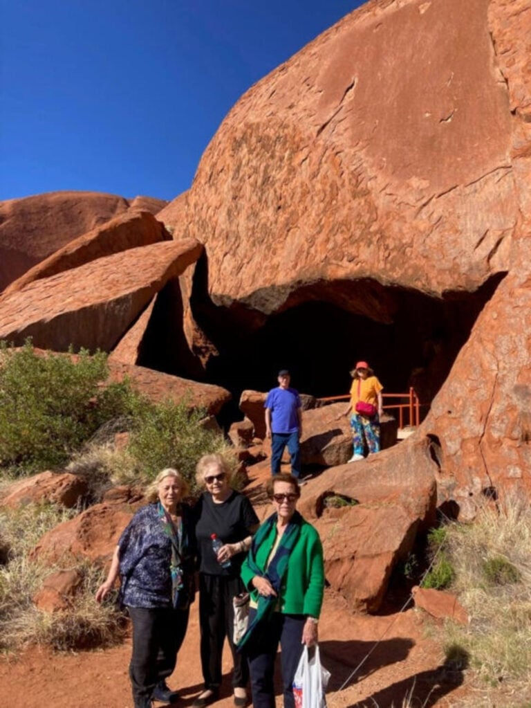
Soil erosion and weathering over the centuries have contributed to the formation of the stone as we see it today. On a sign I read: The earth raised it and the rain washed it away!
The rock, which is surrounded by a low fence, is known for its unique red colour with its rock formations, impressive folds and steep corridors. It changes colours depending on where you are and where the sun is setting.
Uluru is also home to a number of geological features, including cliffs, caves and natural arches. These features, shaped over time by weathering and erosion of the sandstone, provide a unique and striking landscape.
Tourism to the sacred stone began in 1940, when the road connecting it to Alice Springs was completed. Since then, the number of tourists has increased significantly and since 1980 it has had an airport.
Uluru is an important cultural and spiritual site for Aboriginal and Torres Strait Islander people and is protected as a World Heritage Site. It is also a popular tourist destination where visitors can learn about the rock’s cultural significance and traditional stories. A unique and fascinating geological and cultural site and a remarkable destination, we highly recommend it.
As the sun sets towards the west, so many vibrant colours and hues are created, enchanting the Aboriginal painter and inviting him to masterfully capture the majesty of nature on canvas.
OTHER SIGHTSEEING
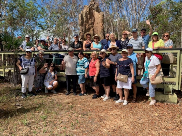
Kakadu National Park is a protected land in the Northern Territory, listed by UNESCO as a protected World Heritage Park and owned by the Indigenous people, who have inhabited it for 60,000 years.
It covers an area of 19,800 square kilometres and has rich vegetation and many varieties of birds. The waterfalls are enchanting and the scenery is breathtaking.
It is maintained with the help of Parks Australia.
The village of Ti Tree (in the native language), Anmacjere, is located 194 kms north of Alice Springs, has 550 residents, a petrol station, a market and a school. The presence of the indigenous people is lost in the depths of the centuries, as are their crafts that are inspired by their culture.
Erldunda is a small village. Its evocative name was etched in my memory, as was Rulgera and Lake Mary Ann, which is a wet oasis in the middle of the desert.
Also unforgettable is the lush green resort in the village of Mataranka, which in the native language means the house of the snake. It is the capital of Never Never with thermal springs and a lot of visitors. It has specially designed areas for caravans and campsites. The permanent residents are around 400, the majority of them are of Aboriginal and Torres Strait Islander backgrounds. It is crossed by the Roper River.
It is noted that the area was included on the map of Northern Australia on 24 May, 1928.
Possibly one of the most beautiful and scenic natural wonders is Simpsons Gap. It is located 18 kilometres west of Alice Springs in West MacDonnell National Park. It is a sacred place for the indigenous people where they traditionally performed their ceremonies. A magnificent landscape, where nature has masterfully divided the towering sacred boulder in two and in the centre left a river where the waters flow quietly.
The Devils Marbles are huge rocks that offer a rare landscape. We encountered them on the way to Alice Springs.
And for those who choose to travel by plane, in case of emergency there are runways for landing and take-off on the Stuart Highway from time to time!